")
")
PLANNING PORTAL
for the Wadden Sea Region
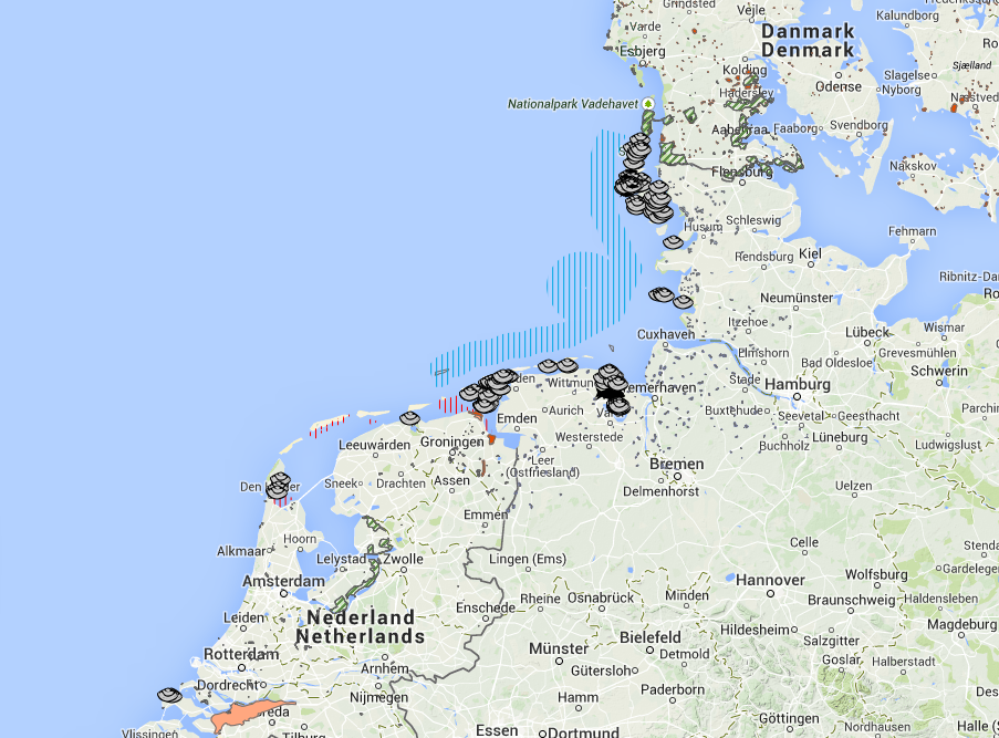
The Wadden Sea Region (WSR) Planning Portal, based on a GIS, is an innovative application mapping the WSR including the EEZs of The Netherlands, Germany and Denmark. The Planning Portal has a focus on existing and partly planned activities in coastal and off-shore areas. It contains a wide range of uses, facilities and protection demands and is designed to meet the information needs of integrated management and marine spatial planning.
The Wadden Sea Forum e.V. in co-operation with EUCC – Die Küsten Union Deutschland e.V (EUCC-D) maintained this Planning Portal. Our goal was to keep this information up-to-date and accurate. Therefore, we strove for a broad update to provide most current information about the use and protection schemes within the Wadden Sea Region.